
Page 94 - LIT-18626-14-66
P. 94
SportsBoat_F5K13.book Page 86 Tuesday, June 13, 2023 5:43 PM
Instrument operation
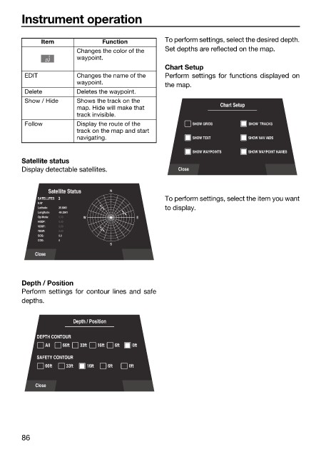
Item Function To perform settings, select the desired depth.
Changes the color of the Set depths are reflected on the map.
waypoint.
Chart Setup
EDIT Changes the name of the Perform settings for functions displayed on
waypoint.
the map.
Delete Deletes the waypoint.
Show / Hide Shows the track on the
map. Hide will make that Chart Setup
track invisible.
Follow Display the route of the SHOW GRIDS SHOW TRACKS
track on the map and start
navigating. SHOW TEXT SHOW NAV AIDS
SHOW WAYPOINTS SHOW WAYPOINT NAMES
Satellite status
Display detectable satellites. Close
Satellite Status N
SATELLITES 3 To perform settings, select the item you want
9:47
Latitude: 35.6060 to display.
Longitude: -84.2541
Op Mode: 0.00 W E
HDOP: 0.00
VDOP: 0.00
TDOP: 0.00
SOG: 0.0
COG: 0
S
Close
Depth / Position
Perform settings for contour lines and safe
depths.
Depth / Position
DEPTH CONTOUR
All 66ft 33ft 16ft 6ft 0ft
SAFETY CONTOUR
66ft 33ft 16ft 6ft 0ft
Close
86